| Images of the RLT site |
 |
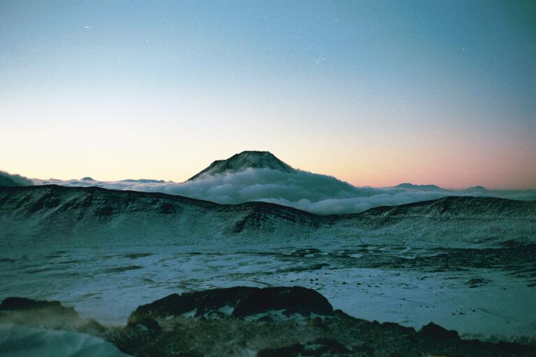
The RLT at sunrise. The ALMA site is below the clouds in the background. |
 |
Panoramic view from Sairecabur's peak. The GPS receiver gave an altitude of 6000 meters, or 19,685 feet. |
 |
The full moon setting at sunrise. |
 |
Snow, October 2002. |
 |
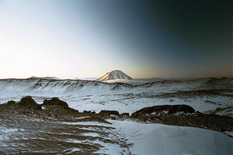
Dawn |
 |
A picture taken to the south at sunrise. |
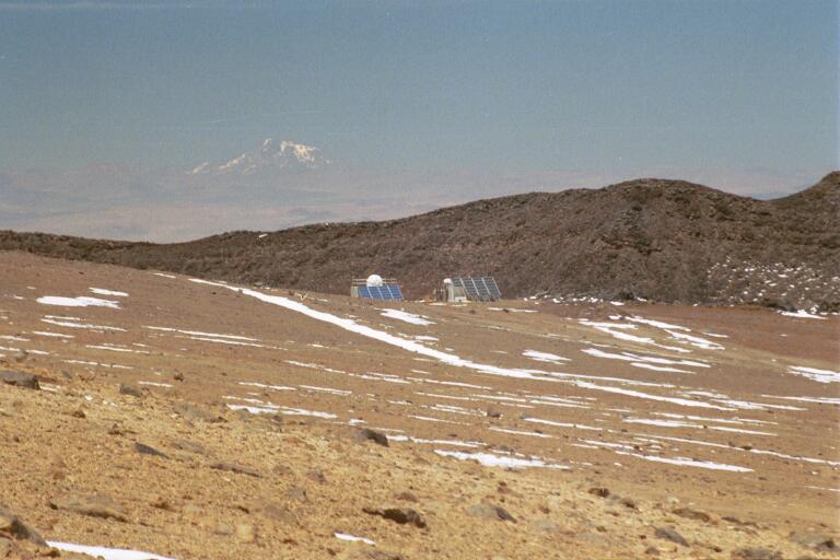 |
The two SAO containers from afar. |
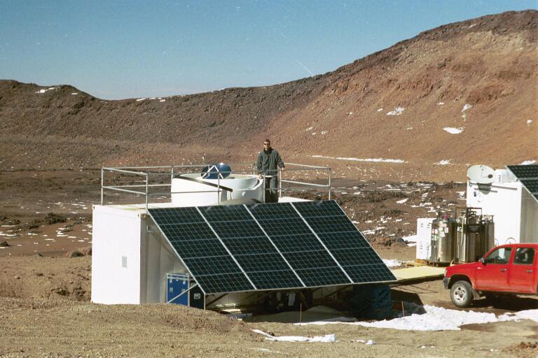 |
The RLT and I |
| Some other telescopes, wildlife, etc. |
|
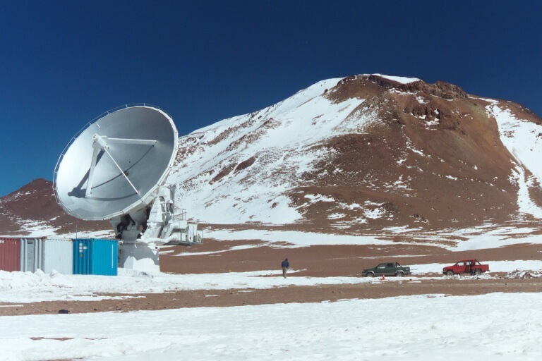
Several pictures of the Japanese ASTE telescope, a 10m telescope on nearby Pampa la Bola. | |||
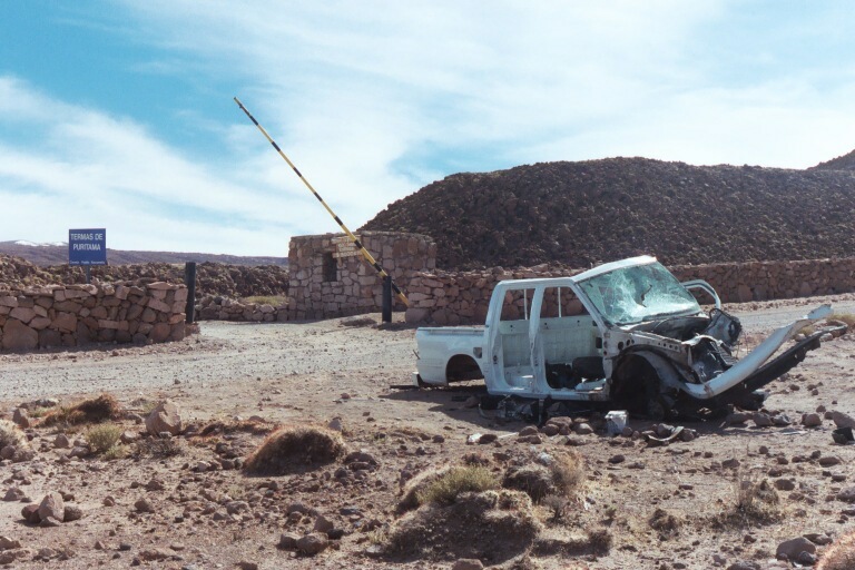 |
A resident of the road to Sairecabur. | |||
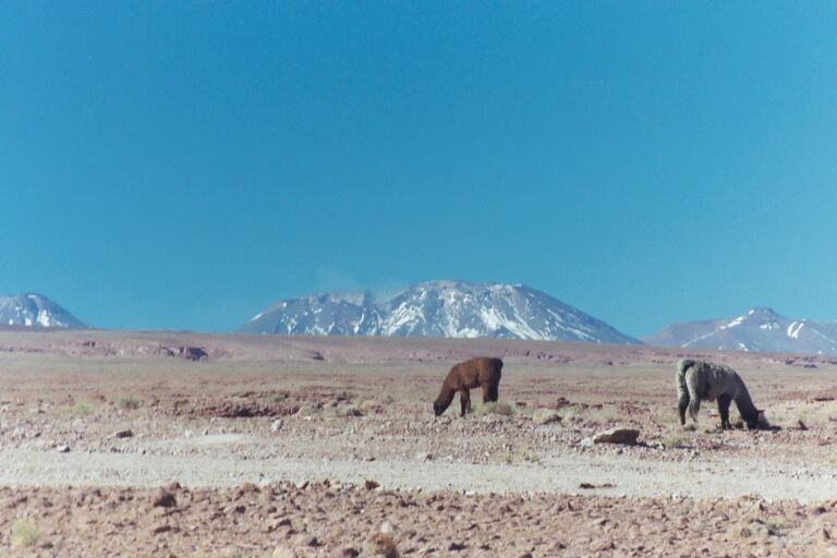 |
The smoking volcano Lascar, which last erupted in 2001, with grazing llamas. |

| Scenery, difficulties |
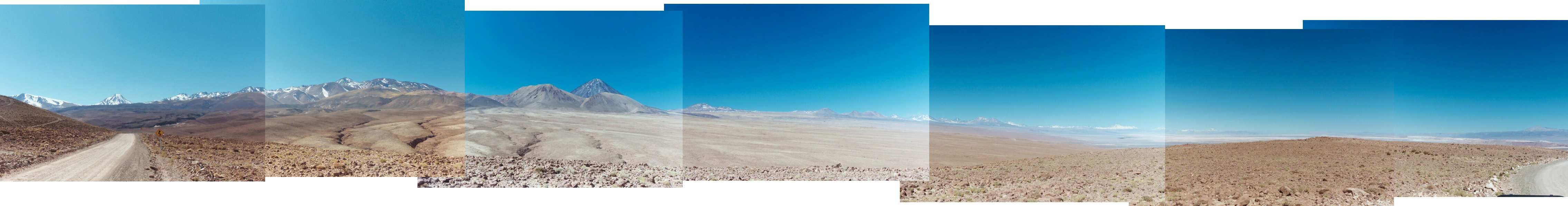 |
A ~240 degree panorama taken approximately 25km above San Pedro de Atacama. Visible peaks include: Cerro Colorado, Cerro Sairecabur, Licancabur (very steeply peaked), Cerro Chascon, Cerro Toco, and Lascar, an active (and visibly smoking) volcano (third seam from the right). | ||
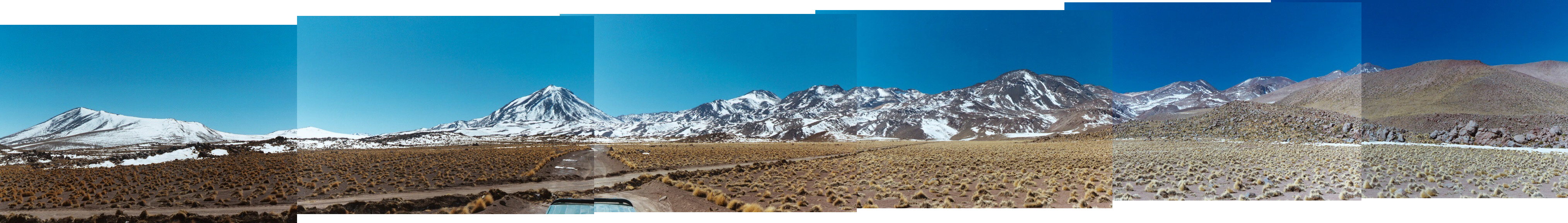 |
A panorama taken from a turnoff along the road to El Tatio (a geyser). Sairecabur is the peak straddling the rightmost seam. | ||
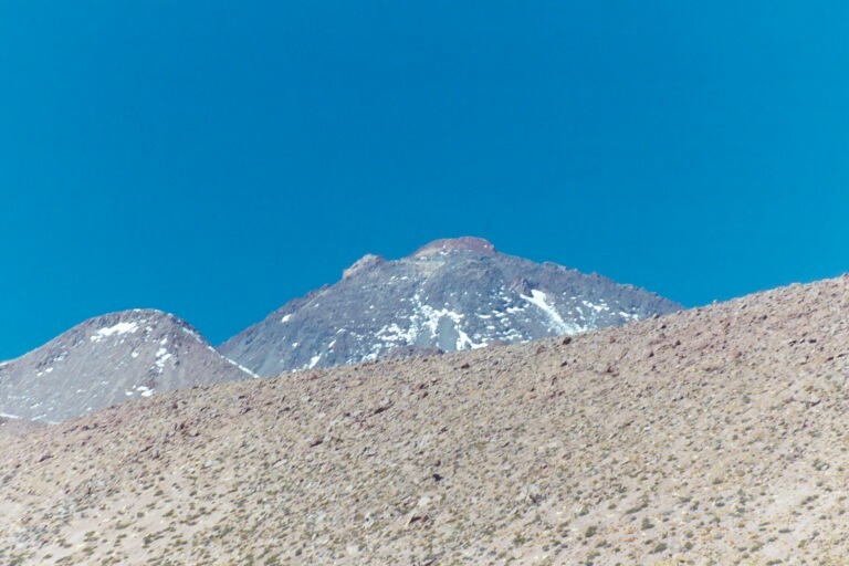 |
A close-up of Sairecabur peeking out from behind a hill. | ||
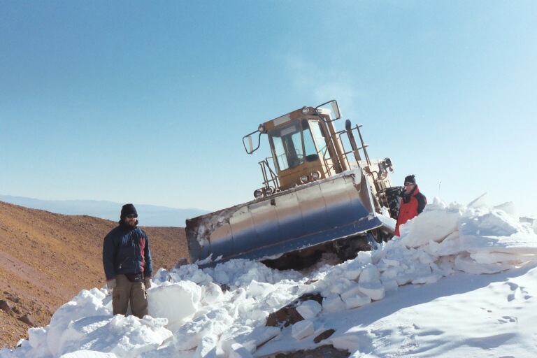 |
A bulldozer clearing the road in August, 2002. The snow is 1.5 meters deep here. Marcos Diaz and Ray Blundell provide scale. | ||
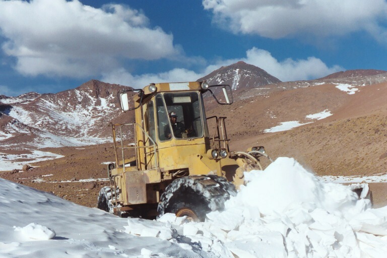 |
The bulldozer clearing a drift, with Sairecabur in the background | ||
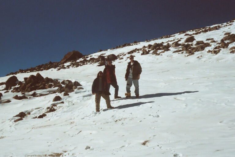 |
A hike up the snow covered road. Marcos, Ray, and I, left to right. | ||
|
Me, standing on 2 meters of snow at an impassible kilometer-18. | ||
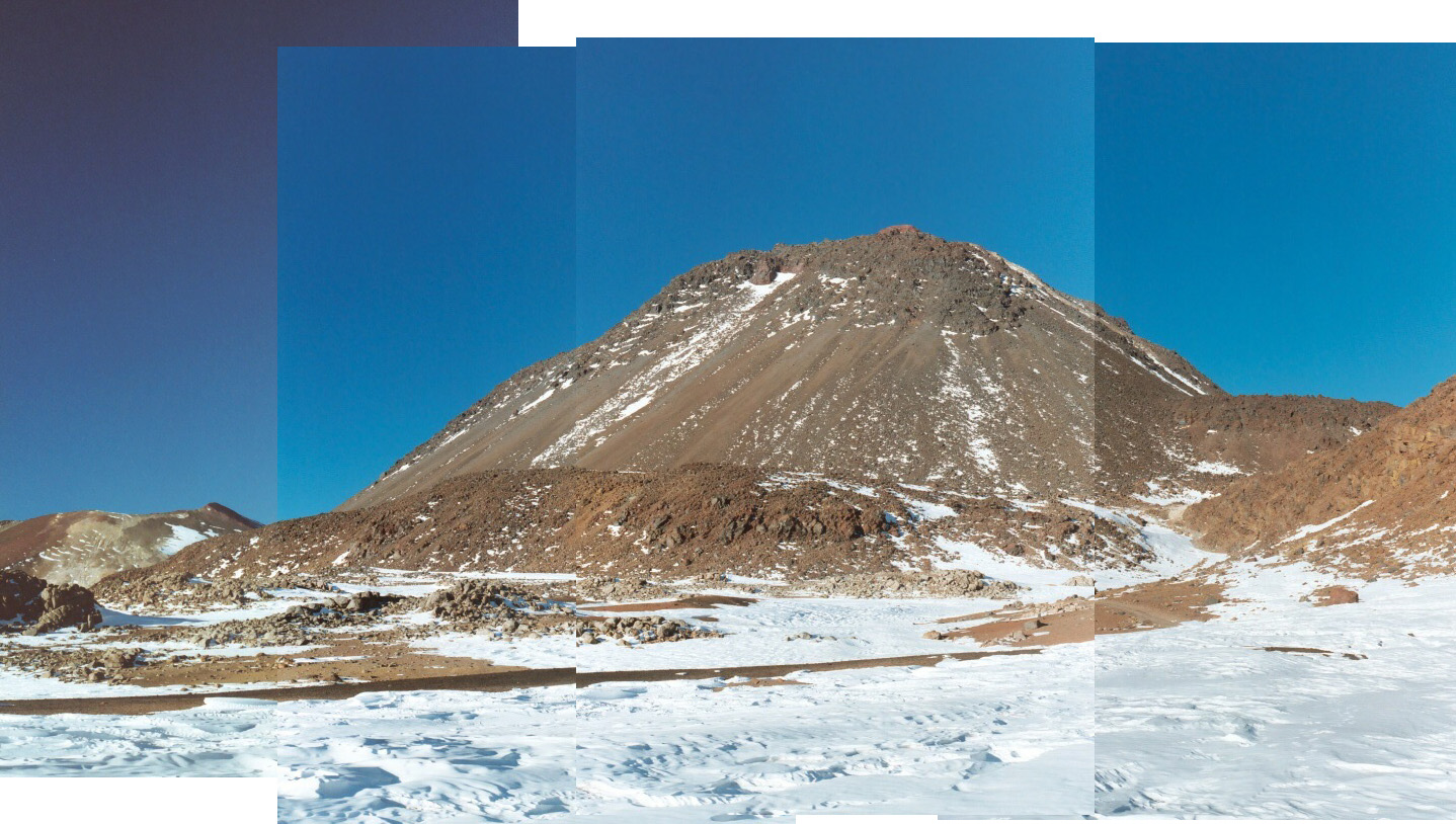 |
The view of Sairecabur from kilometer 18. Part of the road is visible at the left edge of the rightmost picture. |


| The basecamp for RLT operations, San Pedro is also a popular tourist destination. |
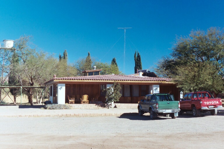 |
La Casa de Don Tomas, our home in Chile. Better images of the hotel can be seen at their website | |||
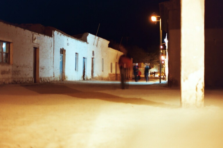 |
A nighttime view of the main street in San Pedro. | |||
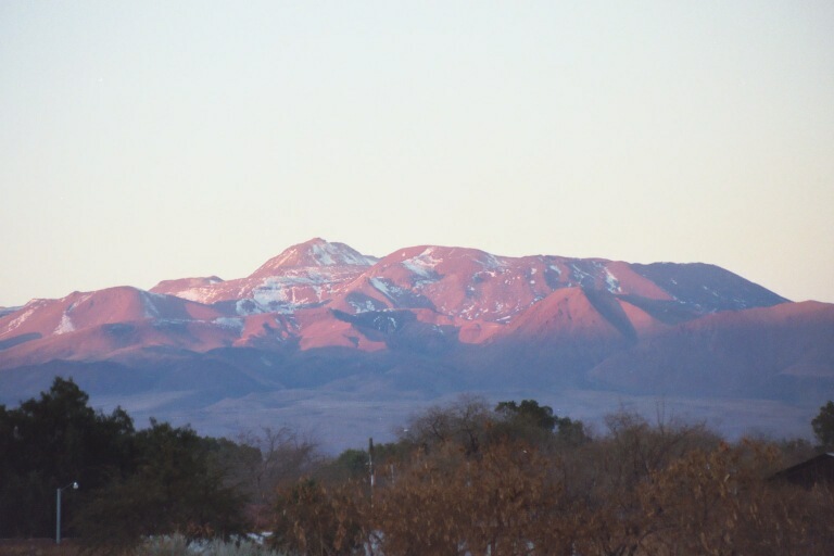
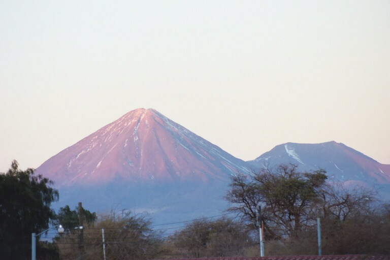
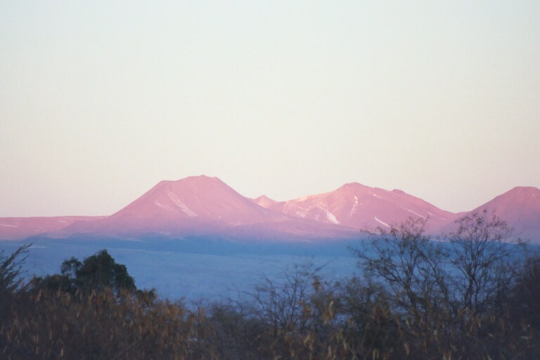
| Views of the sun setting on the mountains, taken from San Pedro. |
| Images of the Southern Hemisphere sky |
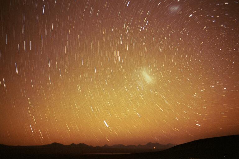 |
A 15 minute exposure of the south celestial pole. |
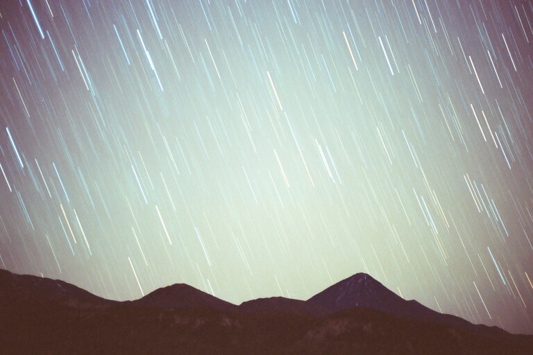 |
A 12 minute exposure of the sky around Licancabur. |